Thanks to the experience gained, the CAD ONE staff is able to follow the customer through the co-creation of solutions in a partnership logic, guiding him in the most suitable choices and offering a personalized consultancy service. In particular we specialize in survey and map rendering services, back office activities on SAP, document scanning, printing and graphics.

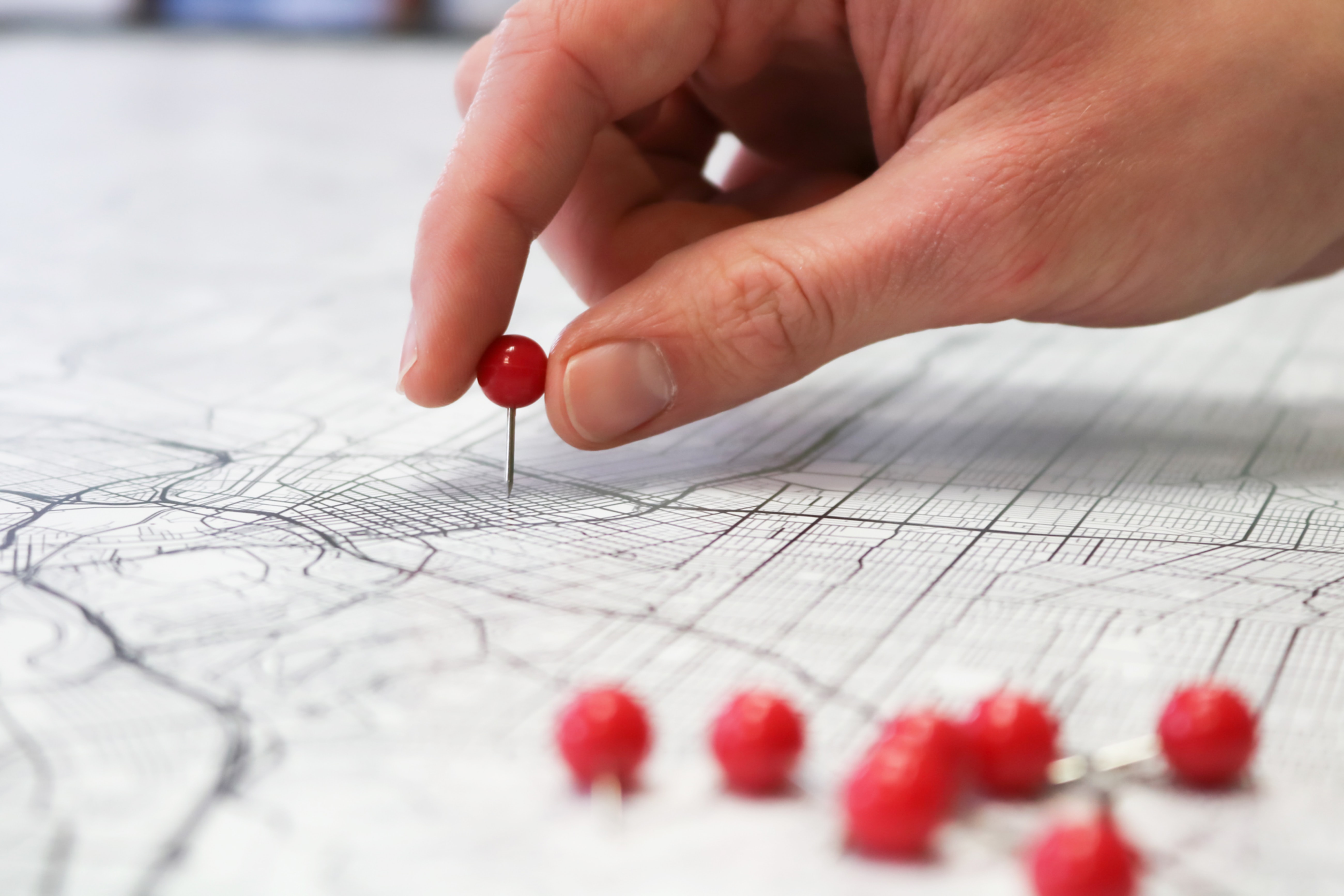
CARTOGRAPHY
- Census and design of technological and FTTX networks
- Executive planning of infrastructures
- Map updates
- Drafting and management of documents necessary for the start of works on public land
- Request for permits from public and private bodies
- Preparation of practices for tampering with public soil and greenery
- Walk in and walk out activities
- Public lighting (pole census, georeferencing, cartographic updating, etc.)

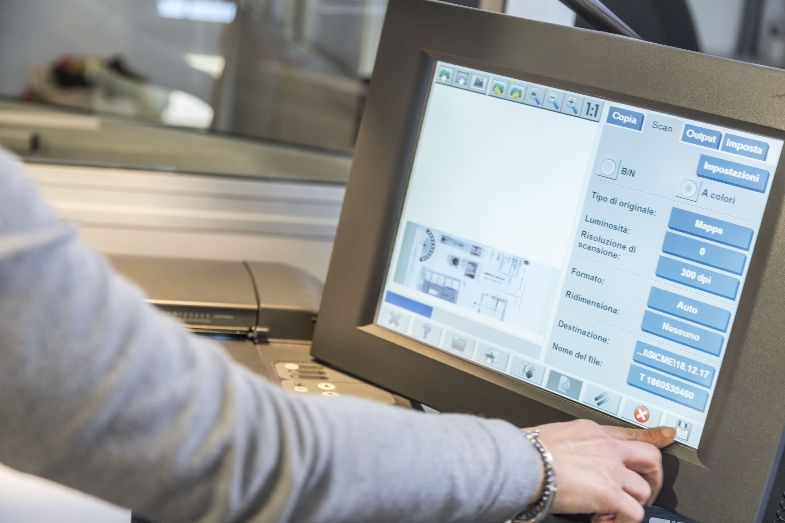
DOCUMENT SCAN
- Consultancy on the state of the paper archive
- Collection and selection of paperwork to be scanned
- Scans from A5 format up to sizes over A0
- Uploading digital files to Gis software
- Return of paper paperwork to the Customer

BACK OFFICE ACTIVITIES
- Remote help desk services
- Management of public land tampering bills
- Loading into database on various applications (e.g. SAP)
- Co-creation of solutions in a partnership logic
- Place utility suspension notices

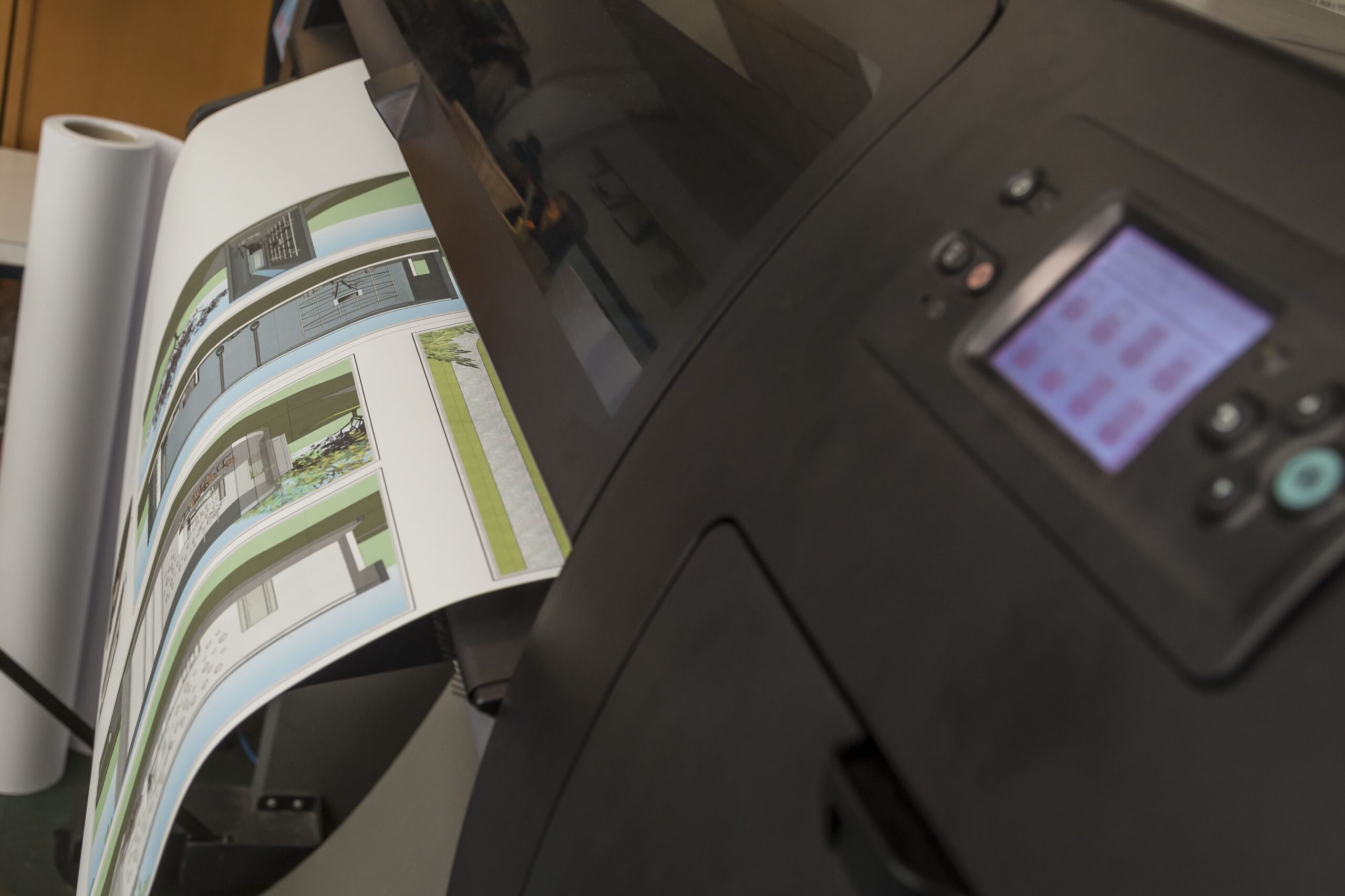
STAMPA E GRAFICA
- Small, medium and large format digital printing
- Plotting, both in color and in b/w, technical tables and posters in high resolution on media of different weights and quality.
- Creation of information material (flyers, banners)
- Creation of coordinated image
- Photoediting
- Editorial graphics
